 +1 credit
| Version | Summary | Created by | Modification | Content Size | Created at | Operation |
|---|---|---|---|---|---|---|
| 1 | Camila Xu | -- | 1639 | 2022-10-13 01:39:04 |
Video Upload Options
This is a list of selected Australian islands grouped by State or Territory. Australia has 8,222 islands within its maritime borders.
1. Largest Islands
The islands larger than 1,000 square kilometres (390 sq mi) are:[1][2]
- Tasmania (Tas) 64,519 square kilometres (24,911 sq mi);
- Melville Island, Northern Territory (NT), 5,786 square kilometres (2,234 sq mi);
- Kangaroo Island, South Australia (SA), 4,416 square kilometres (1,705 sq mi);
- Groote Eylandt (NT), 2,285 square kilometres (882 sq mi);
- Bathurst Island (NT), 1,693 square kilometres (654 sq mi);
- Fraser Island, Queensland (Qld), 1,653 square kilometres (638 sq mi);
- Flinders Island (Tas), 1,359 square kilometres (525 sq mi);
- King Island (Tas), 1,091 square kilometres (421 sq mi); and
- Mornington Island (Qld), 1,002 square kilometres (387 sq mi).
2. New South Wales
- Bare Island, near the north headland of Botany Bay
- Bird Island, located near Budgewoi, 1.4 kilometres (0.87 mi) east of the Central Coast
- Boondelbah Island, at the mouth of Port Stephens
- Broughton Island, located north of Port Stephens
- Broulee Island, located off the coast at Broulee
- Cabbage Tree Island, at the mouth of Port Stephens
- Chatsworth Island, in the Clarence River
- Clark Island, in Sydney Harbour
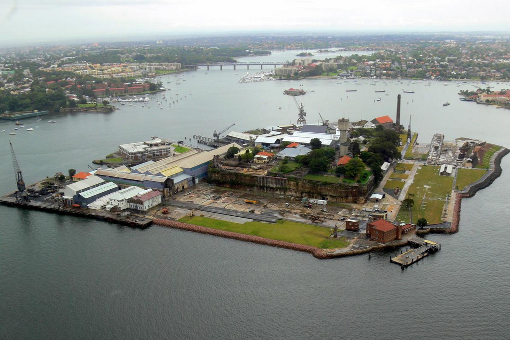
- Cockatoo Island, in Sydney Harbour, originally used as a prison and later developed as a shipyard
- Cook Island, located near Tweed Heads
- Dangar Island, a small forested island in the Hawkesbury River
- Dumaresq Island, a small island in the Manning River downstream of Taree
- Darling Island, a former island subsequently bridged by land, in Sydney Harbour
- Esk Island, in the north arm of the Clarence River
- Fatima Island, a tidal island of the Cook's River
- Fort Denison, also known as Pinchgut
- Five Islands Nature Reserve, a group of islands off the coast near Wollongong
- Garden Island (no longer an island)
- Glebe Island (no longer an island)
- Goat Island, a rocky island in Sydney Harbour
- Goodwood Island
- Green Island, a small island north of Smoky Cape
- Harwood Island, in the Clarence River
- Joass Island, located in Little Swan Bay, Port Stephens
- Lion Island, at the entrance to the Hawkesbury River
- Long Island, in the Hawkesbury River
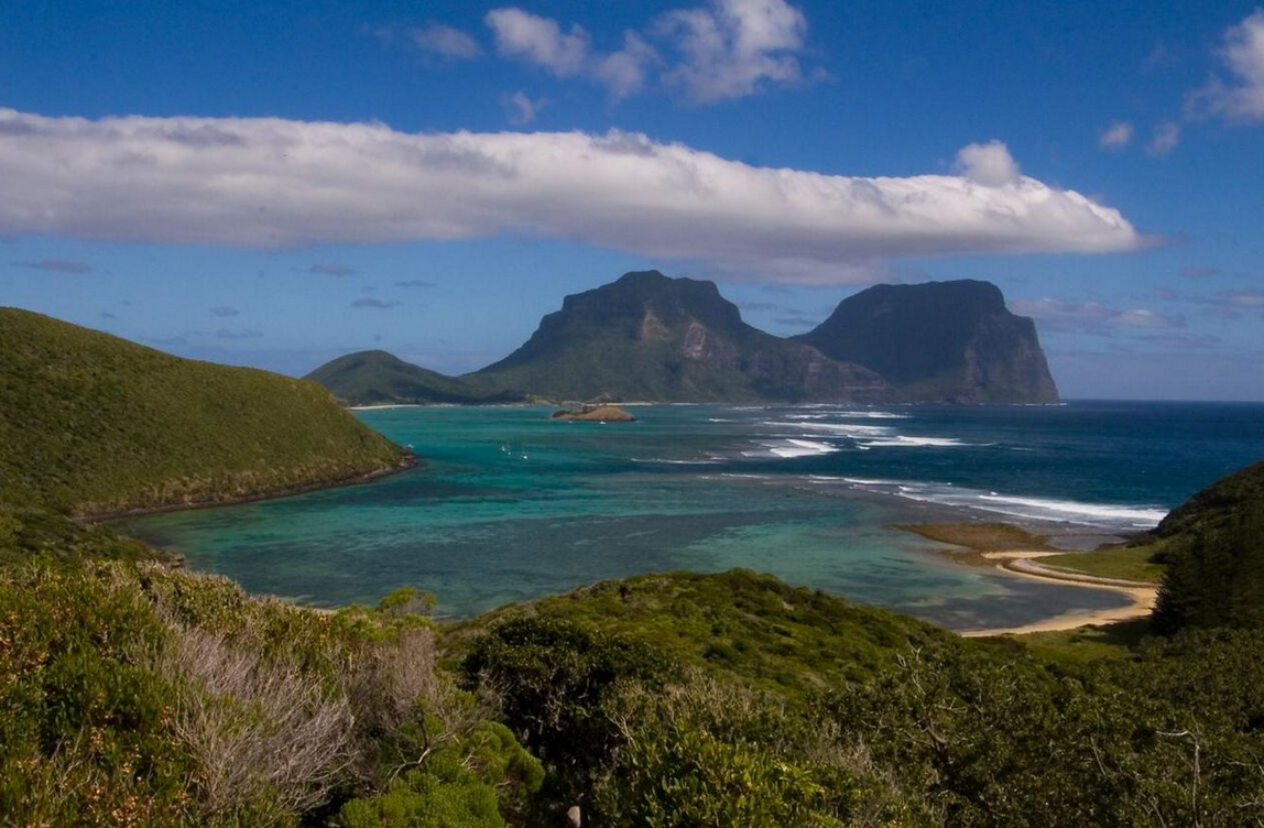
- Lord Howe Island, a small island in the Tasman Sea, 600 kilometres (370 mi) east of the Australian mainland
- Ball's Pyramid
- Admiralty Group
- Milson Island, in the Hawkesbury River
- Montague Island, 9 kilometres (5.6 mi) east of Narooma on the south coast
- Moon Island, 1 km off Swansea Heads
- Muttonbird Island, off Coffs Harbour
- Oxley Island
- Pinchgut - see Fort Denison, a former penal site and defensive facility in Sydney Harbour
- Pulbah Island, the largest island in Lake Macquarie
- Rodd Island, a small island in the Parramatta River
- Scotland Island, in the north of Sydney
- Shark Island, in Sydney Harbour
- Snapper Island, in Sydney Harbour
- Spectacle Island, in the Hawkesbury River
- Spectacle Island, in Sydney Harbour
- Solitary Islands
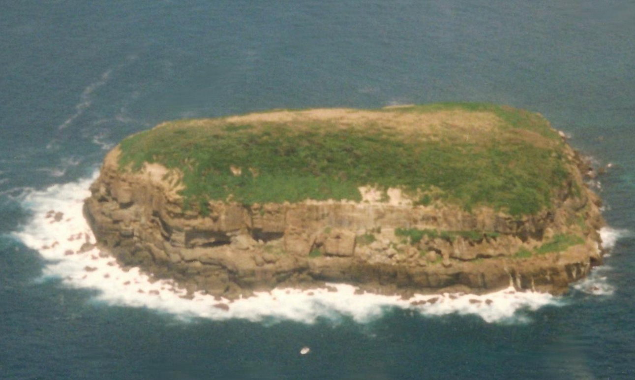
- Wasp Island, the only island in Durras Inlet near Batemans Bay[3]
- Wedding Cake Island, a small island of the coast of Coogee
- Windang Island, a small island at the entrance to Lake Illawarra
- Woodford Island, in the Clarence River on the far north coast
3. Northern Territory
- Bathurst Island
- Bickerton Island
- Crocodile Islands
- Croker Island
- East Woody Island
- Elcho Island
- Goulburn Islands
- Groote Eylandt - The name is an archaic spelling of the Dutch words for "Big Island" - Australia's 4th largest island
- Howard Island
- Martjanba Island
- Melville Island, the second largest island in Australia
- Quail Island
- Sir Edward Pellew Group
- Tiwi Islands
- Vanderlin Island
- Wessel Islands
4. Queensland
- Acheron Island
- Agnes Island
- Albino Rock
- Aplin Islet
- Arnold Islets
- Baird Island
- Barber Island
- Barrow Island
- Bedarra Island
- Beesley Island
- Bird Islands
- Bishop Island[4]
- Bootie Island
- Bountiful Islands
- Bowden Island
- Boyne Island
- Brampton Island
- Bribie Island
- Brisk Island
- Brook Islands, three islands: North, Tween and Middle.
- Bourke Isles
- Bushy Island
- Bushy Islet
- Cholmondeley Islet
- Clack Island
- Clerke Island
- Coconut Island
- Coochiemudlo Island
- Crab Island
- Cordelia Rocks
- Coquet Island
- Curacoa Island
- Denham Island
- Douglas Islet
- Duncan Islands
- Dunk Island
- Eagle Island
- Ellis Island
- Ephraim Island
- Esk Island
- Eclipse Island
- Fantome Island
- Falcon Island
- Fisher Island
- Fisherman Island (no longer an island - Port of Brisbane wharves construction in the mouth of the Brisbane River extended over it)
- Fitzroy Island
- Fly Island
- Frankland Islands
- Russell Island
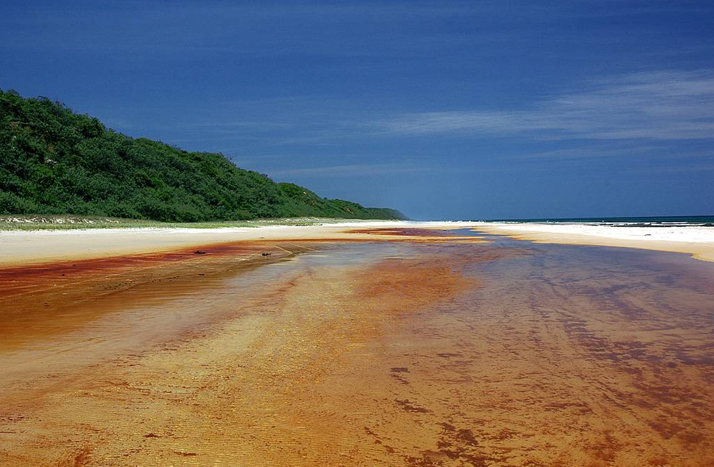
- Fraser Island, the largest sand island in the world
- Goold Island
- Gore Island
- Great Keppel Island
- Great Palm Island
- Green Island
- Haggerston Island
- Hales Island
- Hannibal Islands
- Harvey Island
- Heron Island
- High Island
- Hinchinbrook Island
- Horseshoe Island
- Houghton Island
- Hudson Island
- Jessie Island
- Kangaroo Island
- Kent Island
- King Island
- Kumboola Island
- Lady Elliot Island
- Lady Musgrave Island
- Leggatt Island
- Lindquist Island
- Lizard Island
- Lloyd Island
- Low Island
- Low Wooded Island
- Mabel Island
- Makepeace Island
- Magnetic Island
- Milman Islet
- Moreton Island
- Mornington Island
- Morris Island
- Mudjimba Island
- Murdock Island
- Nigger Head
- Newton Island
- Nob Island
- Noble Island
- Normanby Island
- North Direction Island
- North Stradbroke Island
- Northumberland Islands
- Orpheus Island
- Paddy Island
- Palfrey Island
- Peel Island
- Pelorus Island
- Pentecost Island
- Percy Island
- Perry Island
- Pigeon Island
- Pincushion Island
- Pipon Island
- Prince of Wales Island
- Pumpkin Island
- Raine Island
- Restoration Island
- Rocky Island
- Rocky Point Island
- Rodney Island
- Round Island
- St Helena Island
- Shaw Island
- Sherrard Island
- Sir Charles Hardy Islands
- The Sisters
- Sisters Islands
- Snapper Island
- South Direction Island
- South Stradbroke Island
- Southern Moreton Bay Islands
- Russell Island
- Macleay Island
- Perulpa Island (Connected to Macleay Island by causeway)
- Lamb Island
- Karragarra Island
- Saibai Island, in the Torres Strait
- Stephens Island
- Struck Island
- Sunday Island
- Sunter Island
- Sweers Island
- Talbot Islands
- Tern Island
- Thomson Islet
- Thorpe Island
- Three Islands
- The Three Sisters
- Sue Islet
- Torres Strait Islands
- Trochus Island
- Turtle Group
- Watson Island
- Wellesley Islands
- Wheeler Island
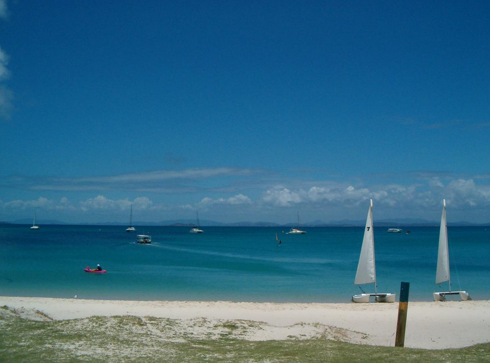
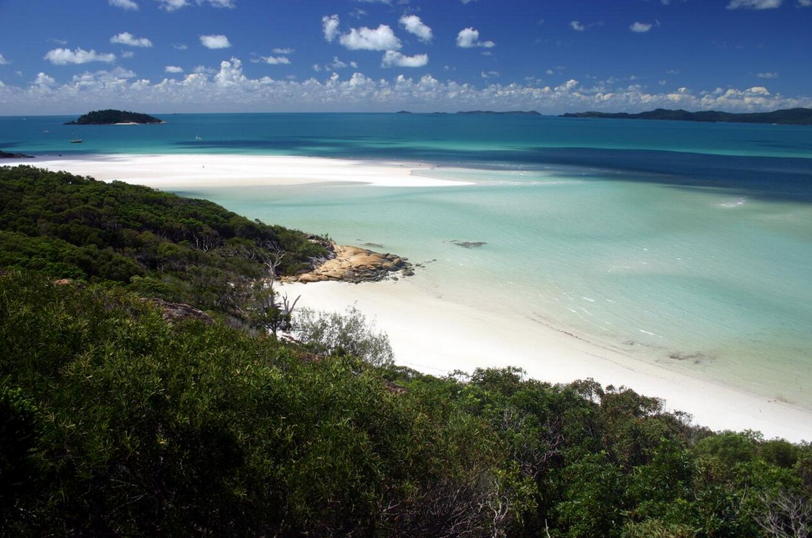
- Whitsunday Islands
- Daydream Island
- Dent Island
- Hamilton Island
- Hayman Island
- Hook Island
- Keswick Island
- Lindeman Island
- Long Island
- South Molle Island
- Whitsunday Island
- Wilson Island
- Woody Island
5. South Australia
5.1. Ocean Islands
- Althorpe Islands
- Haystack Island
- Seal Island (Investigator Strait)
- Beatrice Islets
- Bicker Isles
- Bird Islands
- Boston Island
- Busby Islet
- Casuarina Islets
- Chinamans Hat Island
- Curlew Island
- Douglas Rock
- Entrance Island
- Gambier Islands
- Garden Island
- Goose Island
- Granite Island
- Grantham Island
- Greenly Island
- Grindal Island
- Investigator Group
- Flinders Island
- Pearson Isles
- Dorothee Island
- Pearson Island
- Veteran Isles
- Topgallant Islands
- Waldegrave Islands
- Ward Islands
- Jones Island
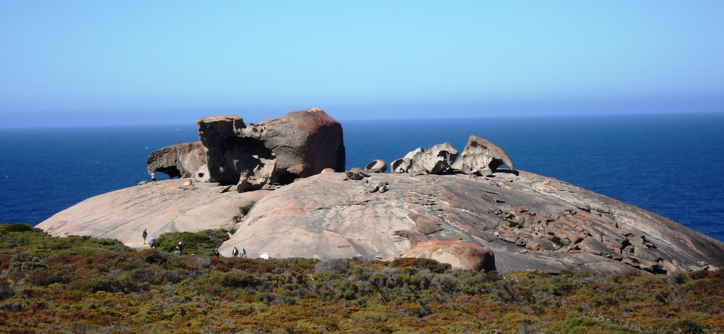
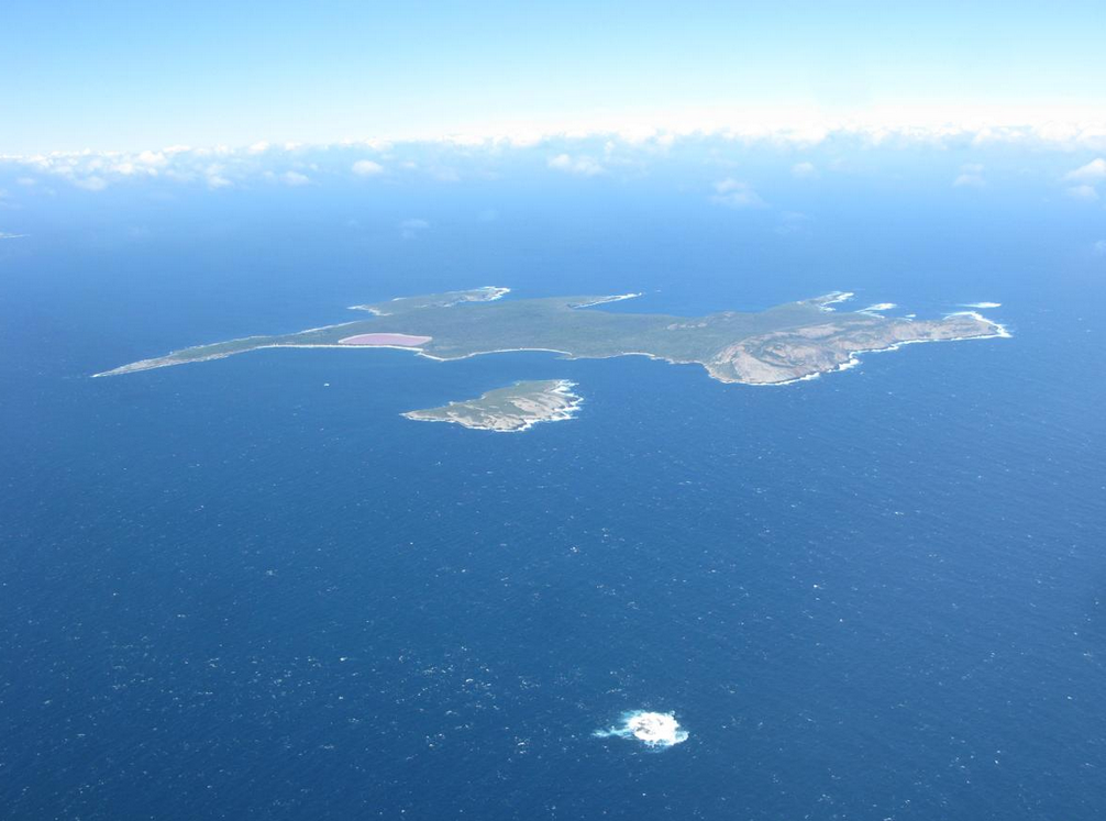
- Kangaroo Island, Australia's third-largest island
- Liguanea Island
- Lipson Island
- Louth Island
- Neptune Islands
- Nicolas Baudin Island
- Nobby Islet
- Nuyts Archipelago
- St Francis Island
- St Peter Island
- Smooth Island
- Middle Island
- Owen Island
- Paisley Islet
- Pelorus Islet
- Pullen Island
- Rabbit Island, Coffin Bay
- Rabbit Island, Louth Bay
- Rabbit Islet, Pelican Lagoon
- Royston Island
- St Francis Island
- St Peter Island
- Shag Island
- Sir Joseph Banks Group
- Blyth Island
- Boucaut Island
- Dalby Island
- Dangerous Reef
- Duffield Island
- English Island
- Hareby Island
- Kirkby Island
- Langton Island
- Lusby Island
- Marum Island
- Partney Island
- Reevesby Island
- Roxby Island
- Seal Rock
- Sibsey Island
- Spilsby Island
- Stickney Island
- Winceby Island
- Seal Island (Encounter Bay)
- South Island
- Taylor Island
- Thistle Island
- Torrens Island
- Troubridge Island
- Tumby Island
- Unnamed island, Baird Bay
- Wardang Island
- Wedge Island
- Weeroona Island
- West Island
- Wright Island
5.2. Murray River Islands
- Hindmarsh Island
- Pomanda Island
- Rabbit Island, Coorong
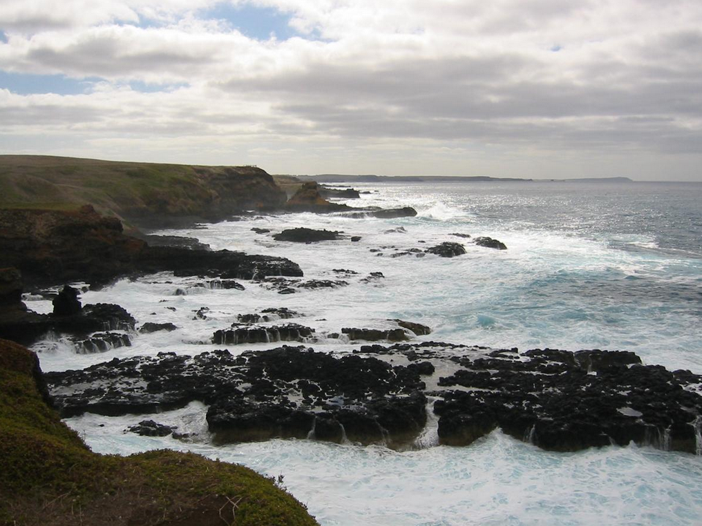
6. Tasmania
Tasmania is a large island state off the south-east coast of mainland Australia. The main island of Tasmania (which includes 94% of the state's land area) does not have a defined name but can be referred to as the "Tasmanian mainland". There are 334 islands (or islets) within the state of Tasmania;[5] with the main islands listed below, each having a land area greater than 100 hectares (250 acres). A full list of all 334 islands is located at the list of islands of Tasmania.
- Bruny Island
- Furneaux Island Group
- Anderson Island
- Babel Island
- Badger Island
- Big Green Island
- Cape Barren Island
- Clarke Island
- East Kangaroo Island
- Flinders Island
- Goose Island
- Great Dog Island
- Long Island
- Mount Chappell Island
- Hogan Island
- Hunter Island Group
- Hunter Island
- Robbins Island
- Three Hummock Island
- Kent Island Group
- Deal Island
- Dover Island
- Erith Island
- King Island
- Maatsuyker Islands Group
- Chicken Island
- De Witt Island
- Maatsuyker Island
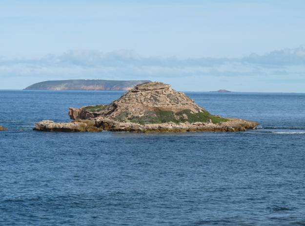
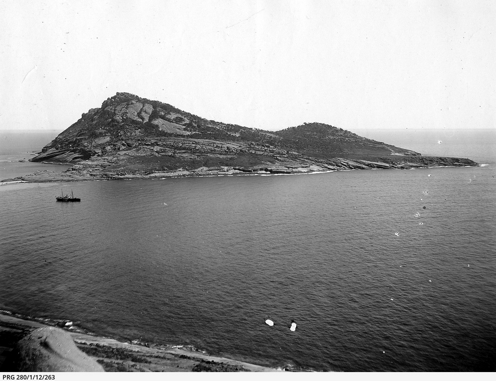
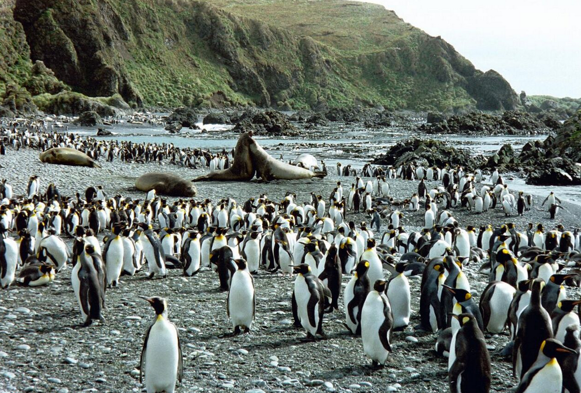
- Macquarie Island
- Maria Island
- Ile du Nord
- Partridge Island
- Petrel Island Group
- Big Sandy Petrel Island
- Big Stony Petrel Island
- Little Stony Petrel Island
- South West Petrel Island
- Kangaroo Island
- Howie Island
- Robbins Island
- Walker Island (northwest)
- Rodondo Island
- Schouten Island
- Sloping Island Group
- Sloping Island
- Smooth Island (Tasmania)
- Waterhouse Island Group
- Swan Island
- Waterhouse Island
7. Victoria
- Anser Island
- Barrallier Island
- Bennison Island
- Chinaman Island
- Churchill Island
- Corner Island
- Duck Island
- Elizabeth Island
- French Island
- Gabo Island
- Griffiths Island
- Joe Island
- Kanowna Island
- Lady Julia Percy Island
- Mud Islands
- Norman Island
- Phillip Island
- Raymond Island
- Rotamah Island
- Sandstone Island
- Shellback Island
- Snake Island
- Sunday Island
- Swan Island
- Tullaberga Island
- Mangrove Islet
7.1. River Islands
- Beveridge Island
- Coode Island
- Gunbower Island
- Herring Island
- Jordan's Island
- Pental Island
8. Western Australia
Over 1,000 islands have been gazetted – only the island groups and major islands are listed.
- Ashmore Reef
- Barrow Island
- Bonaparte Archipelago
- Buccaneer Archipelago
- Cockatoo Island
- Cape Leeuwin Islands
- Carnac Island
- Dampier Archipelago
- Dirk Hartog Island
- Garden Island
- Houtman Abrolhos
- Easter Group
- Pelsaert Group
- Wallabi Group
- Lacepede Islands
- Lowendal Islands
- Mary Anne Group
- Montebello Islands
- Recherché Archipelago
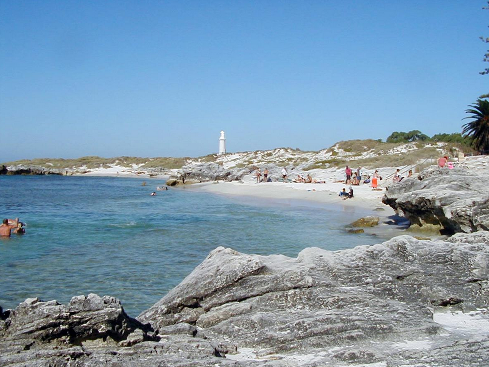
- Rottnest Island
- Rowley Shoals
- Scott and Seringapatam Reefs
- Shark Bay islands
- Wedge Island
9. Australian Territories
9.1. Jervis Bay Territory
- Bowen Island
9.2. Australian Capital Territory
- Aspen Island
- Pine Island
- Spinnaker Island
- Springbank Island
10. External Territories
- Ashmore and Cartier Islands
- Australian Antarctic Territory[6]
- Achernar Island
- Masson Island
- Hawker Island
- Frazier Islands
- Giganteus Island
- Christmas Island
- Cocos (Keeling) Islands
- Horsburgh Island
- Home Island
- North Keeling Island
- West Island
- Coral Sea Islands
- Cato Island
- Elizabeth Reef
- Middleton Reef
- Willis Island
- Heard Island and McDonald Islands
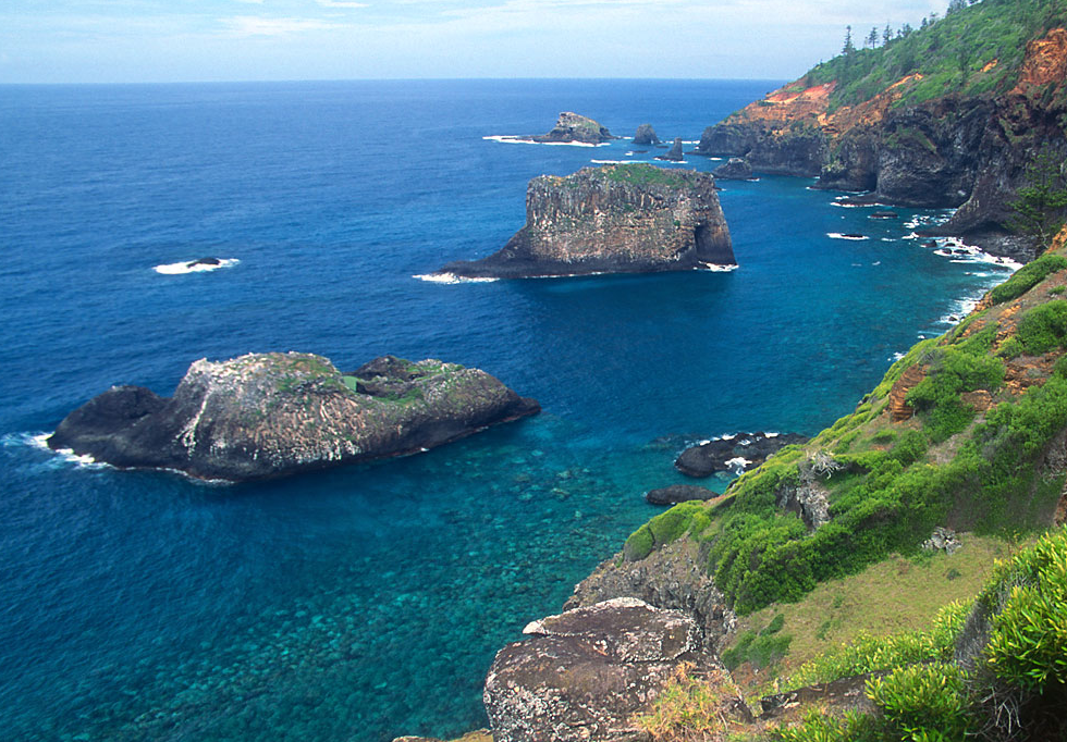
- Norfolk Island
- Nepean Island
- Phillip Island
References
- "Area of Australia - States and Territories". Geoscience Australia. Australian Government. http://www.ga.gov.au/education/geoscience-basics/dimensions/area-of-australia-states-and-territories.html.
- "National Mapping - Fab Facts, Landforms, Australian Islands". Geoscience Australia. Australian Government. Archived from the original on 22 August 2008. https://web.archive.org/web/20080822133909/https://www.ga.gov.au/education/facts/landforms/largisle.htm.
- "The Inlet that Eluded Bass". Clyde Coast Links. http://www.southcoast.com.au/batemansbay/bassinlet/index.html. Retrieved 2009-02-01.
- no longer an island - Port of Brisbane wharves construction in the mouth of the Brisbane River extended over it
- Brothers, Nigel; Pemberton, David; Pryor, Helen; Lucieer, Vanessa (2001). Tasmania's offshore islands: seabirds and other natural features. Hobart, Tasmania: Tasmanian Museum and Art Gallery. p. 44. ISBN 978-0-7246-4816-0.
- "National recovery plan for Albatrosses and Giant-petrels: Section 4.1.6 Australian Antarctic Territory". Australian Government, Department of the Environment, Water, Heritage and the Arts. Archived from the original on 2008-08-17. https://web.archive.org/web/20080817111259/http://www.environment.gov.au/biodiversity/threatened/publications/recovery/albatross/habitat.html. Retrieved 2008-07-16.


