This is a list of selected Australian islands grouped by State or Territory. Australia has 8,222 islands within its maritime borders.
- australia
- islands
- maritime
1. Largest Islands
The islands larger than 1,000 square kilometres (390 sq mi) are:[1][2]
- Tasmania (Tas) 64,519 square kilometres (24,911 sq mi);
- Melville Island, Northern Territory (NT), 5,786 square kilometres (2,234 sq mi);
- Kangaroo Island, South Australia (SA), 4,416 square kilometres (1,705 sq mi);
- Groote Eylandt (NT), 2,285 square kilometres (882 sq mi);
- Bathurst Island (NT), 1,693 square kilometres (654 sq mi);
- Fraser Island, Queensland (Qld), 1,653 square kilometres (638 sq mi);
- Flinders Island (Tas), 1,359 square kilometres (525 sq mi);
- King Island (Tas), 1,091 square kilometres (421 sq mi); and
- Mornington Island (Qld), 1,002 square kilometres (387 sq mi).
2. New South Wales
- Bare Island, near the north headland of Botany Bay
- Bird Island, located near Budgewoi, 1.4 kilometres (0.87 mi) east of the Central Coast
- Boondelbah Island, at the mouth of Port Stephens
- Broughton Island, located north of Port Stephens
- Broulee Island, located off the coast at Broulee
- Cabbage Tree Island, at the mouth of Port Stephens
- Chatsworth Island, in the Clarence River
- Clark Island, in Sydney Harbour
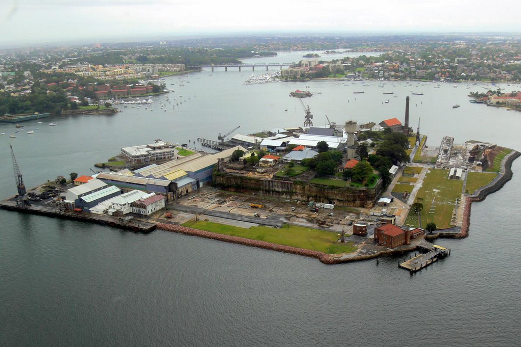
- Cockatoo Island, in Sydney Harbour, originally used as a prison and later developed as a shipyard
- Cook Island, located near Tweed Heads
- Dangar Island, a small forested island in the Hawkesbury River
- Dumaresq Island, a small island in the Manning River downstream of Taree
- Darling Island, a former island subsequently bridged by land, in Sydney Harbour
- Esk Island, in the north arm of the Clarence River
- Fatima Island, a tidal island of the Cook's River
- Fort Denison, also known as Pinchgut
- Five Islands Nature Reserve, a group of islands off the coast near Wollongong
- Garden Island (no longer an island)
- Glebe Island (no longer an island)
- Goat Island, a rocky island in Sydney Harbour
- Goodwood Island
- Green Island, a small island north of Smoky Cape
- Harwood Island, in the Clarence River
- Joass Island, located in Little Swan Bay, Port Stephens
- Lion Island, at the entrance to the Hawkesbury River
- Long Island, in the Hawkesbury River
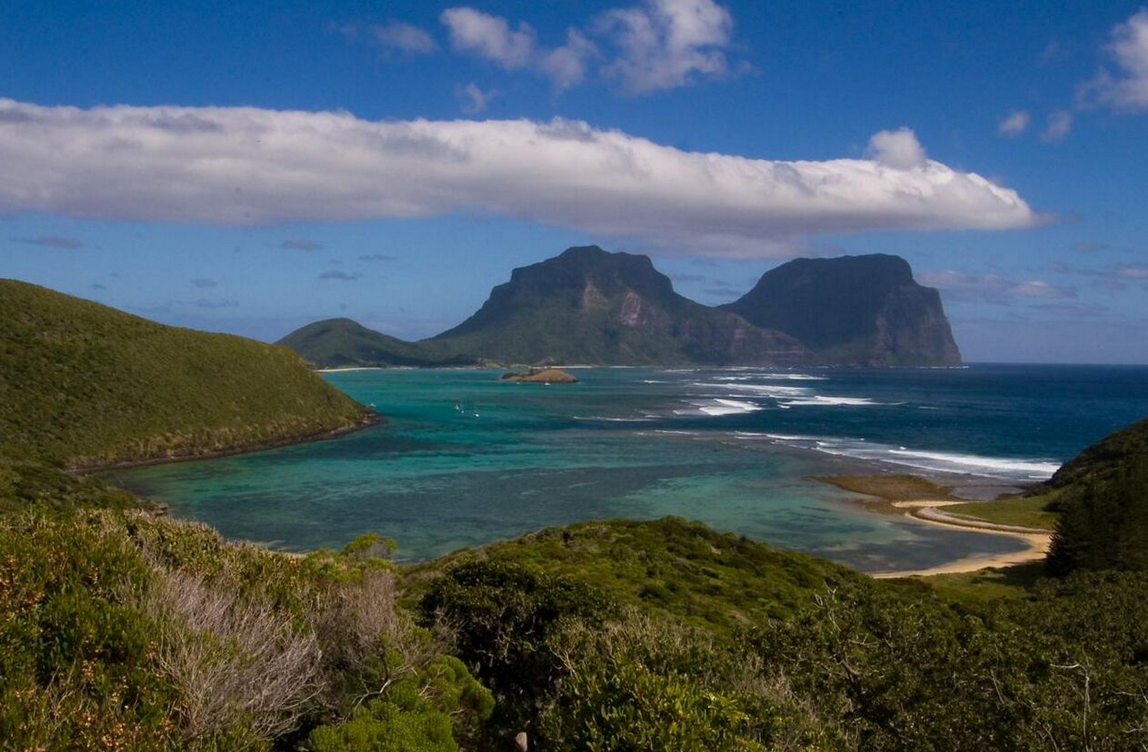
- Lord Howe Island, a small island in the Tasman Sea, 600 kilometres (370 mi) east of the Australian mainland
- Ball's Pyramid
- Admiralty Group
- Milson Island, in the Hawkesbury River
- Montague Island, 9 kilometres (5.6 mi) east of Narooma on the south coast
- Moon Island, 1 km off Swansea Heads
- Muttonbird Island, off Coffs Harbour
- Oxley Island
- Pinchgut - see Fort Denison, a former penal site and defensive facility in Sydney Harbour
- Pulbah Island, the largest island in Lake Macquarie
- Rodd Island, a small island in the Parramatta River
- Scotland Island, in the north of Sydney
- Shark Island, in Sydney Harbour
- Snapper Island, in Sydney Harbour
- Spectacle Island, in the Hawkesbury River
- Spectacle Island, in Sydney Harbour
- Solitary Islands
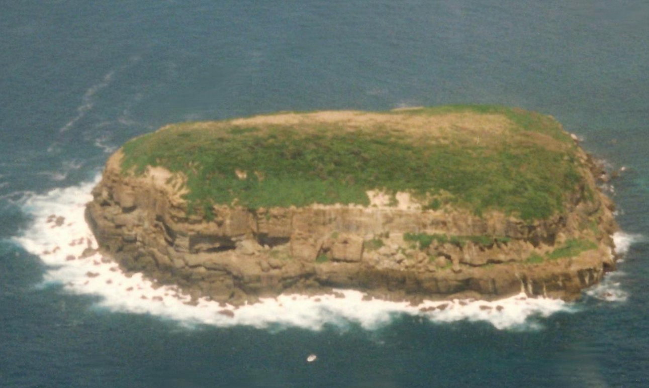
- Wasp Island, the only island in Durras Inlet near Batemans Bay[3]
- Wedding Cake Island, a small island of the coast of Coogee
- Windang Island, a small island at the entrance to Lake Illawarra
- Woodford Island, in the Clarence River on the far north coast
3. Northern Territory
- Bathurst Island
- Bickerton Island
- Crocodile Islands
- Croker Island
- East Woody Island
- Elcho Island
- Goulburn Islands
- Groote Eylandt - The name is an archaic spelling of the Dutch words for "Big Island" - Australia's 4th largest island
- Howard Island
- Martjanba Island
- Melville Island, the second largest island in Australia
- Quail Island
- Sir Edward Pellew Group
- Tiwi Islands
- Vanderlin Island
- Wessel Islands
4. Queensland
- Acheron Island
- Agnes Island
- Albino Rock
- Aplin Islet
- Arnold Islets
- Baird Island
- Barber Island
- Barrow Island
- Bedarra Island
- Beesley Island
- Bird Islands
- Bishop Island[4]
- Bootie Island
- Bountiful Islands
- Bowden Island
- Boyne Island
- Brampton Island
- Bribie Island
- Brisk Island
- Brook Islands, three islands: North, Tween and Middle.
- Bourke Isles
- Bushy Island
- Bushy Islet
- Cholmondeley Islet
- Clack Island
- Clerke Island
- Coconut Island
- Coochiemudlo Island
- Crab Island
- Cordelia Rocks
- Coquet Island
- Curacoa Island
- Denham Island
- Douglas Islet
- Duncan Islands
- Dunk Island
- Eagle Island
- Ellis Island
- Ephraim Island
- Esk Island
- Eclipse Island
- Fantome Island
- Falcon Island
- Fisher Island
- Fisherman Island (no longer an island - Port of Brisbane wharves construction in the mouth of the Brisbane River extended over it)
- Fitzroy Island
- Fly Island
- Frankland Islands
- Russell Island
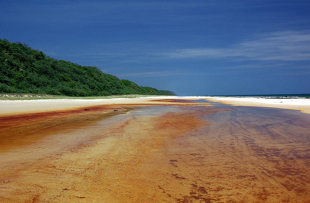
- Fraser Island, the largest sand island in the world
- Goold Island
- Gore Island
- Great Keppel Island
- Great Palm Island
- Green Island
- Haggerston Island
- Hales Island
- Hannibal Islands
- Harvey Island
- Heron Island
- High Island
- Hinchinbrook Island
- Horseshoe Island
- Houghton Island
- Hudson Island
- Jessie Island
- Kangaroo Island
- Kent Island
- King Island
- Kumboola Island
- Lady Elliot Island
- Lady Musgrave Island
- Leggatt Island
- Lindquist Island
- Lizard Island
- Lloyd Island
- Low Island
- Low Wooded Island
- Mabel Island
- Makepeace Island
- Magnetic Island
- Milman Islet
- Moreton Island
- Mornington Island
- Morris Island
- Mudjimba Island
- Murdock Island
- Nigger Head
- Newton Island
- Nob Island
- Noble Island
- Normanby Island
- North Direction Island
- North Stradbroke Island
- Northumberland Islands
- Orpheus Island
- Paddy Island
- Palfrey Island
- Peel Island
- Pelorus Island
- Pentecost Island
- Percy Island
- Perry Island
- Pigeon Island
- Pincushion Island
- Pipon Island
- Prince of Wales Island
- Pumpkin Island
- Raine Island
- Restoration Island
- Rocky Island
- Rocky Point Island
- Rodney Island
- Round Island
- St Helena Island
- Shaw Island
- Sherrard Island
- Sir Charles Hardy Islands
- The Sisters
- Sisters Islands
- Snapper Island
- South Direction Island
- South Stradbroke Island
- Southern Moreton Bay Islands
- Russell Island
- Macleay Island
- Perulpa Island (Connected to Macleay Island by causeway)
- Lamb Island
- Karragarra Island
- Saibai Island, in the Torres Strait
- Stephens Island
- Struck Island
- Sunday Island
- Sunter Island
- Sweers Island
- Talbot Islands
- Tern Island
- Thomson Islet
- Thorpe Island
- Three Islands
- The Three Sisters
- Sue Islet
- Torres Strait Islands
- Trochus Island
- Turtle Group
- Watson Island
- Wellesley Islands
- Wheeler Island
- Whitsunday Islands
- Daydream Island
- Dent Island
- Hamilton Island
- Hayman Island
- Hook Island
- Keswick Island
- Lindeman Island
- Long Island
- South Molle Island
- Whitsunday Island
- Wilson Island
- Woody Island
5. South Australia
5.1. Ocean Islands
- Althorpe Islands
- Haystack Island
- Seal Island (Investigator Strait)
- Beatrice Islets
- Bicker Isles
- Bird Islands
- Boston Island
- Busby Islet
- Casuarina Islets
- Chinamans Hat Island
- Curlew Island
- Douglas Rock
- Entrance Island
- Gambier Islands
- Garden Island
- Goose Island
- Granite Island
- Grantham Island
- Greenly Island
- Grindal Island
- Investigator Group
- Flinders Island
- Pearson Isles
- Dorothee Island
- Pearson Island
- Veteran Isles
- Topgallant Islands
- Waldegrave Islands
- Ward Islands
- Jones Island
- Kangaroo Island, Australia's third-largest island
- Liguanea Island
- Lipson Island
- Louth Island
- Neptune Islands
- Nicolas Baudin Island
- Nobby Islet
- Nuyts Archipelago
- St Francis Island
- St Peter Island
- Smooth Island
- Middle Island
- Owen Island
- Paisley Islet
- Pelorus Islet
- Pullen Island
- Rabbit Island, Coffin Bay
- Rabbit Island, Louth Bay
- Rabbit Islet, Pelican Lagoon
- Royston Island
- St Francis Island
- St Peter Island
- Shag Island
- Sir Joseph Banks Group
- Blyth Island
- Boucaut Island
- Dalby Island
- Dangerous Reef
- Duffield Island
- English Island
- Hareby Island
- Kirkby Island
- Langton Island
- Lusby Island
- Marum Island
- Partney Island
- Reevesby Island
- Roxby Island
- Seal Rock
- Sibsey Island
- Spilsby Island
- Stickney Island
- Winceby Island
- Seal Island (Encounter Bay)
- South Island
- Taylor Island
- Thistle Island
- Torrens Island
- Troubridge Island
- Tumby Island
- Unnamed island, Baird Bay
- Wardang Island
- Wedge Island
- Weeroona Island
- West Island
- Wright Island
5.2. Murray River Islands
- Hindmarsh Island
- Pomanda Island
- Rabbit Island, Coorong
6. Tasmania
Tasmania is a large island state off the south-east coast of mainland Australia. The main island of Tasmania (which includes 94% of the state's land area) does not have a defined name but can be referred to as the "Tasmanian mainland". There are 334 islands (or islets) within the state of Tasmania;[5] with the main islands listed below, each having a land area greater than 100 hectares (250 acres). A full list of all 334 islands is located at the list of islands of Tasmania.
- Bruny Island
- Furneaux Island Group
- Anderson Island
- Babel Island
- Badger Island
- Big Green Island
- Cape Barren Island
- Clarke Island
- East Kangaroo Island
- Flinders Island
- Goose Island
- Great Dog Island
- Long Island
- Mount Chappell Island
- Hogan Island
- Hunter Island Group
- Hunter Island
- Robbins Island
- Three Hummock Island
- Kent Island Group
- Deal Island
- Dover Island
- Erith Island
- King Island
- Maatsuyker Islands Group
- Chicken Island
- De Witt Island
- Maatsuyker Island
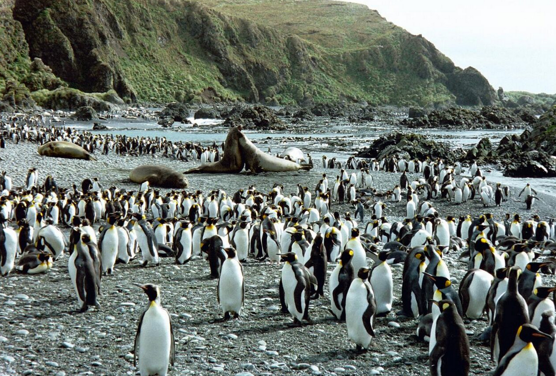
- Macquarie Island
- Maria Island
- Ile du Nord
- Partridge Island
- Petrel Island Group
- Big Sandy Petrel Island
- Big Stony Petrel Island
- Little Stony Petrel Island
- South West Petrel Island
- Kangaroo Island
- Howie Island
- Robbins Island
- Walker Island (northwest)
- Rodondo Island
- Schouten Island
- Sloping Island Group
- Sloping Island
- Smooth Island (Tasmania)
- Waterhouse Island Group
- Swan Island
- Waterhouse Island
7. Victoria
- Anser Island
- Barrallier Island
- Bennison Island
- Chinaman Island
- Churchill Island
- Corner Island
- Duck Island
- Elizabeth Island
- French Island
- Gabo Island
- Griffiths Island
- Joe Island
- Kanowna Island
- Lady Julia Percy Island
- Mud Islands
- Norman Island
- Phillip Island
- Raymond Island
- Rotamah Island
- Sandstone Island
- Shellback Island
- Snake Island
- Sunday Island
- Swan Island
- Tullaberga Island
- Mangrove Islet
7.1. River Islands
- Beveridge Island
- Coode Island
- Gunbower Island
- Herring Island
- Jordan's Island
- Pental Island
8. Western Australia
Over 1,000 islands have been gazetted – only the island groups and major islands are listed.
- Ashmore Reef
- Barrow Island
- Bonaparte Archipelago
- Buccaneer Archipelago
- Cockatoo Island
- Cape Leeuwin Islands
- Carnac Island
- Dampier Archipelago
- Dirk Hartog Island
- Garden Island
- Houtman Abrolhos
- Easter Group
- Pelsaert Group
- Wallabi Group
- Lacepede Islands
- Lowendal Islands
- Mary Anne Group
- Montebello Islands
- Recherché Archipelago
- Rottnest Island
- Rowley Shoals
- Scott and Seringapatam Reefs
- Shark Bay islands
- Wedge Island
9. Australian Territories
9.1. Jervis Bay Territory
- Bowen Island
9.2. Australian Capital Territory
- Aspen Island
- Pine Island
- Spinnaker Island
- Springbank Island
10. External Territories
- Ashmore and Cartier Islands
- Australian Antarctic Territory[6]
- Achernar Island
- Masson Island
- Hawker Island
- Frazier Islands
- Giganteus Island
- Christmas Island
- Cocos (Keeling) Islands
- Horsburgh Island
- Home Island
- North Keeling Island
- West Island
- Coral Sea Islands
- Cato Island
- Elizabeth Reef
- Middleton Reef
- Willis Island
- Heard Island and McDonald Islands
- Norfolk Island
- Nepean Island
- Phillip Island
The content is sourced from: https://handwiki.org/wiki/Earth:List_of_islands_of_Australia
References
- "Area of Australia - States and Territories". Geoscience Australia. Australian Government. http://www.ga.gov.au/education/geoscience-basics/dimensions/area-of-australia-states-and-territories.html.
- "National Mapping - Fab Facts, Landforms, Australian Islands". Geoscience Australia. Australian Government. Archived from the original on 22 August 2008. https://web.archive.org/web/20080822133909/https://www.ga.gov.au/education/facts/landforms/largisle.htm.
- "The Inlet that Eluded Bass". Clyde Coast Links. http://www.southcoast.com.au/batemansbay/bassinlet/index.html. Retrieved 2009-02-01.
- no longer an island - Port of Brisbane wharves construction in the mouth of the Brisbane River extended over it
- Brothers, Nigel; Pemberton, David; Pryor, Helen; Lucieer, Vanessa (2001). Tasmania's offshore islands: seabirds and other natural features. Hobart, Tasmania: Tasmanian Museum and Art Gallery. p. 44. ISBN 978-0-7246-4816-0.
- "National recovery plan for Albatrosses and Giant-petrels: Section 4.1.6 Australian Antarctic Territory". Australian Government, Department of the Environment, Water, Heritage and the Arts. Archived from the original on 2008-08-17. https://web.archive.org/web/20080817111259/http://www.environment.gov.au/biodiversity/threatened/publications/recovery/albatross/habitat.html. Retrieved 2008-07-16.