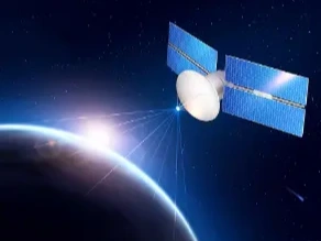
With the growth of satellite and airborne-based platforms, remote sensing is gaining increasing attention in recent decades. Every day, sensors acquire data with different modalities and several resolutions. Leveraging on their complementary properties is a key scientific challenge, usually called remote sensing data fusion. Data fusion can be performed at three different processing levels: 1) pixel-based or raw level; 2) object-based or feature level; 3) decision level. Fusion at pixel level is often called image fusion. It means fusion at the lowest processing level referring to the merging of digital numbers or measured physical quantities. It uses co-registered raster data acquired by different sources. The co-registration step is of crucial importance because misregistration usually causes evident artifacts. Fusion at feature level requires the extraction of objects recognized in several sources of data. This is the goal of this entry collection, which will focus both on methodological and practical aspects of remote sensing data fusion.
- 3.1K
- 13 Apr 2021
- 1.6K
- 29 Oct 2020
- 1.8K
- 04 Jun 2021
- 1.8K
- 22 Feb 2021

